Page 1
Page 2 Page 3 Page 4 Page 5 (click on photo for larger, sharper image)
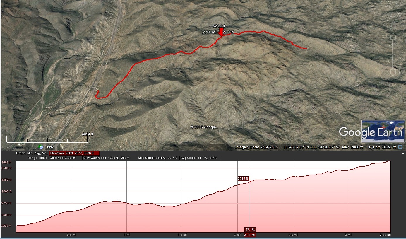
This hike was a combination of the Pine Creek Loop with a there and back down the Ballantine Trail up to Boulder Flat. The GPS said about 7.1 miles total.
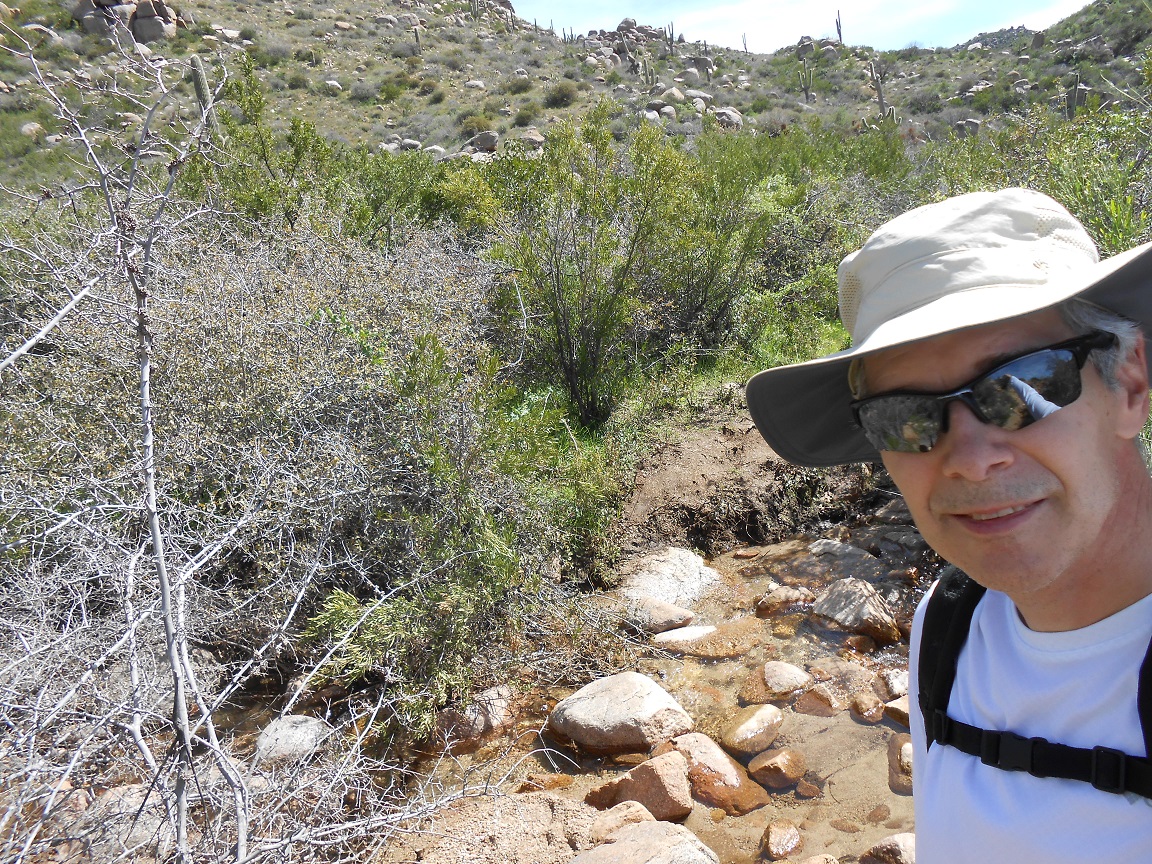
With the wet winter of 2016-2017, running water was one of the themes of the day; crossing it, hearing it, and seeing it running. As you can tell by the
elevation plot, climbing and descending were fairly constant themes also. It is almost all climbing going to Boulder Flat (the chart goes from west to east).
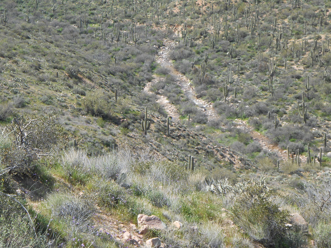
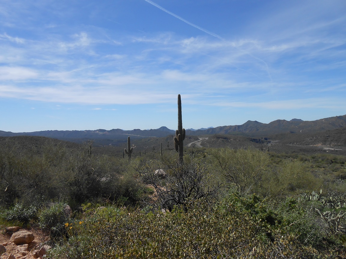
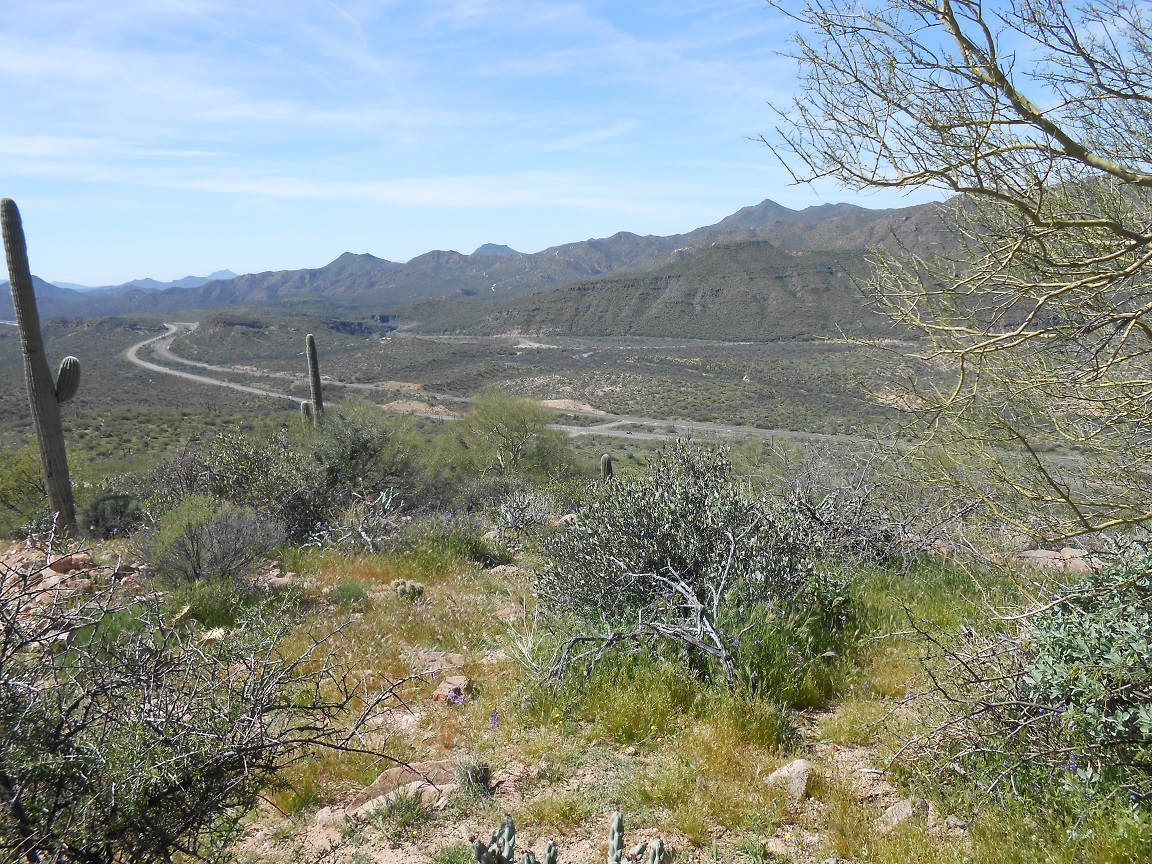
The trailhead is about 10 miles north of where Bush Highway runs into AZ-87 (Beeline). It is right off 87. As the some of the pictures show, you keep walking
away from it, or perhaps I should say climbing away from it.